| ms29139769.txt |
PROJECTS OF THE BASIN SOCIETY
Over the past decade, the Basin Society has collected a large body of technical data and literature,
which was required to develop the necessary scientific baseline of the Shawnigan Lake watershed
for the purposes of credible knowledge, good judgement, and long-term decision making.
The Shawnigan Basin Society is currently focusing on several initiatives.
which was required to develop the necessary scientific baseline of the Shawnigan Lake watershed
for the purposes of credible knowledge, good judgement, and long-term decision making.
The Shawnigan Basin Society is currently focusing on several initiatives.
Ecosystem-Based Conservation Plan
A comprehensive report underpinning the direction of watershed governance
|
This report takes a progressive approach to watershed management by looking at the watershed holistically. The value for nature to provide economy is dependent on the health of the watershed. The integration and implementation of the plan for Shawnigan residents will largely depend on the cooperation between private land owners and the interconnected and interdependent integrity of their various connective properties.
|
|
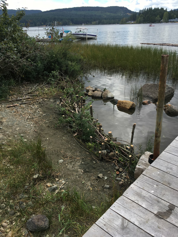
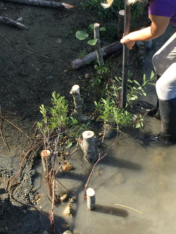
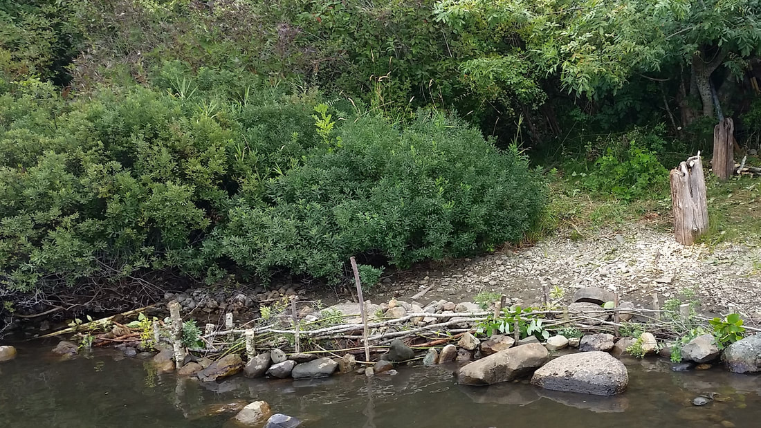
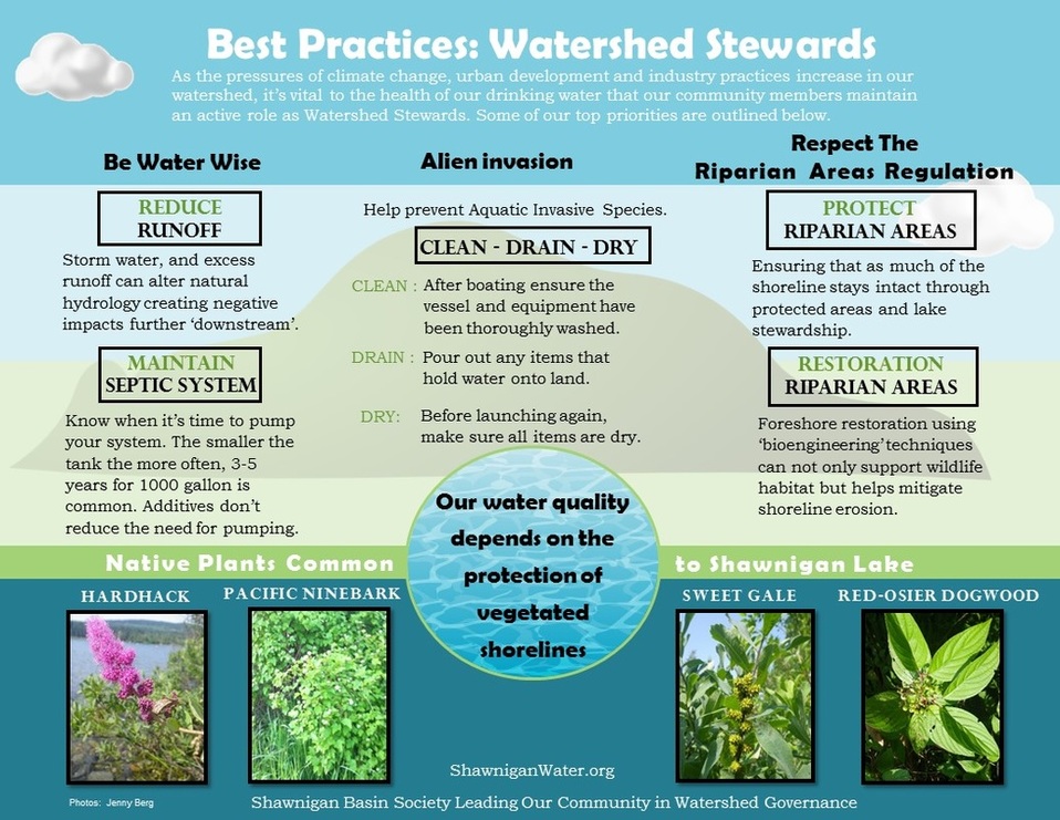
Foreshore Restoration
|
|
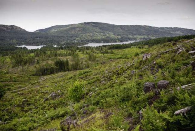
LAND USE: TERESTRIAL IMPACTS
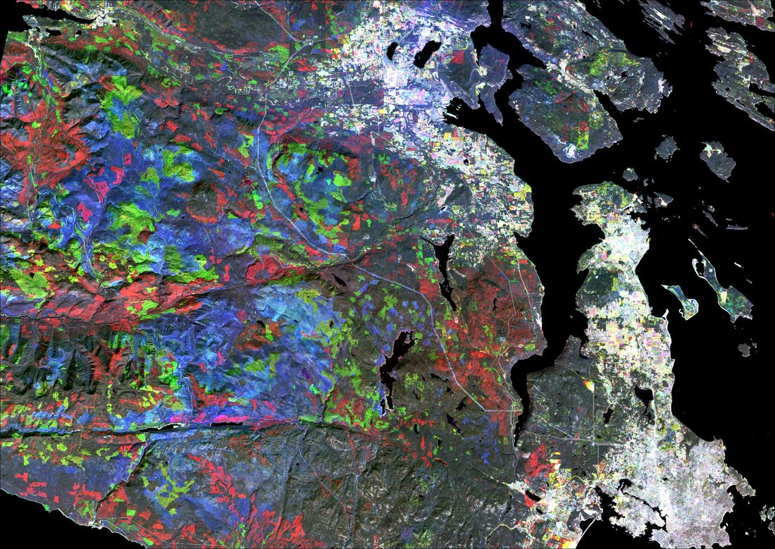
LandSat Maps of Change: More Than Just Pretty Pictures
A Master's thesis on the vegetation changes between 1984 and 2014 in Shawnigan Lake
|
This study mapped the vegetation changes between 1984 and 2014 in southern Vancouver Island using various methods, including the Normalized Differential Vegetation Index (NDVI) derived from satellite data. Very detailed analyses in the Shawnigan Lake Watershed during those 31 years provide information on vegetation cover, urban sprawl, and remaining ecological corridors. As climate in the region continues to change and anthropogenic pressures build-up, mapping the changing landscape becomes critical for the adaptive management of the basin. LONG-TERM VEGETATION CHANGES IN THE SHAWNIGAN WATERSHED © Mar Martínez de Saavedra Álvarez, MSc. |
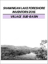
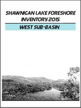
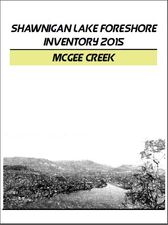
Shawnigan Lake Foreshore Inventory 2015
A baseline study to assess the riparian vegetation at the shoreline of Shawnigan Lake
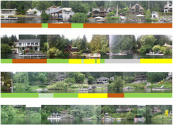
Jenny Berg, BSc |
The objective of this project was to assess the ecological integrity of the riparian zone of Shawnigan Lake and the condition of the immediate foreshore. Over 500 pictures were stitched together and coded to document the current state of the Shawnigan Lake foreshore. The information is presented by sub-basin and highlights five categories of impact. |
In an effort to engage lake stewardship the following information is intended to be a meeting point for citizens to assess what can be done to help protect the water quality in Shawnigan Lake.
|
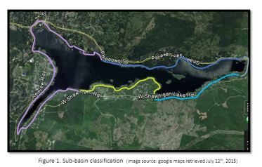
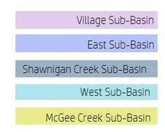
Identify sub-basins utilizing the adjacent image:
|
PDF Documents of Foreshore Inventory by Sub-Basin
|

|
|
|
Synthesis Reporting
Amalgamating approximately 30 documents to produce one comprehensive report
This informative paper, synthesized by SBS Director Dr. Linda Gregory, summarizes both historical and present land use literature pertaining to the Shawnigan Lake watershed while focusing on their hydrological implications. The paper closely examines water quality, lake limnology, water chemistry, and sediments.
Web Design by VedaWorks and the Shawnigan Basin Society